

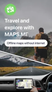



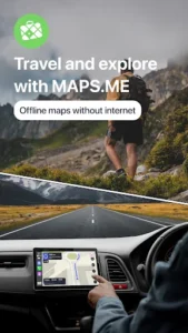



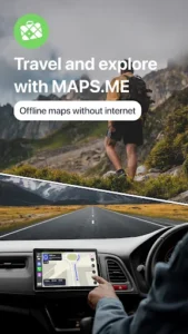



MAPS.ME provides users with detailed maps and turn-by-turn navigation that functions entirely without an internet connection. This app allows travelers and local explorers to navigate by car, on foot, or by bicycle anywhere in the world, saving mobile data by downloading maps beforehand. It serves as a comprehensive tool for finding points of interest, planning routes, and exploring new areas, whether at home or abroad, with a focus on offline accessibility.
Offline Maps and Navigation
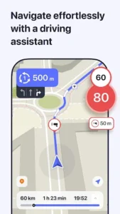
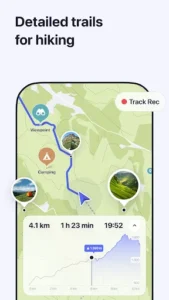
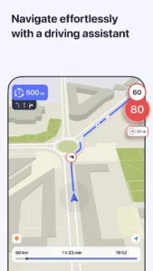
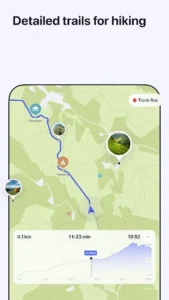
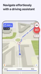
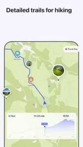
A primary feature of MAPS.ME is its ability to provide fast, detailed maps that work completely offline. Users can save mobile data and navigate without an internet connection, making it suitable for areas with limited connectivity or for international travel where data roaming might be expensive. The app supports turn-by-turn navigation for driving, walking, and cycling, allowing users to get directions to specific points of interest (POIs) or follow hiking trails. It also features optimized maps designed to save memory space on a device while maintaining reliability for offline search and GPS navigation.
Detailed Mapping and OpenStreetMap Integration
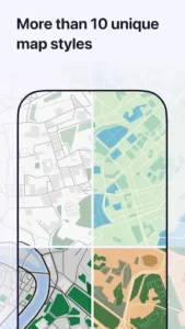
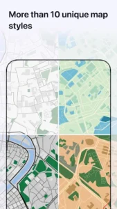
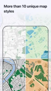
The app’s maps are noted for their detail, including directions to POIs and even hiking trails or places that might be absent from other mapping services. These maps are regularly updated by millions of OpenStreetMap contributors, which is presented as an open-source alternative to many popular map services. Recent updates have further enhanced map detail by adding contour lines and terrain shading, which assists users in assessing terrain features, particularly useful for outdoor activities like cycling or walking.
Integrated Travel Planning Tools
MAPS.ME includes ready-made travel guides designed to help users plan trips and discover interesting places, whether for city exploration, car journeys, or outdoor adventures. Users can save preferred locations as bookmarks and share them with friends. The app also facilitates practical travel arrangements by allowing hotel bookings directly through Booking.com. For local exploration, it supports searching through various categories such as restaurants, cafes, tourist attractions, hotels, ATMs, and public transport options like metro and bus lines. A recent update expanded public transport routing to include train routes as well.
Route Planning and Terrain Awareness
Beyond standard navigation, the app offers alternative options for walking, cycling, and public transport routes, providing flexibility in trip planning. When navigating on foot or by bicycle, it can indicate whether the path ahead is uphill or downhill, offering valuable information for physical activity planning. For those tracking their journeys, activity recording points are now grouped based on route length, which can help organize and review past trips.
Battery Usage Consideration
It is important to note that the continuous use of GPS running in the background, a common characteristic of navigation apps, can significantly reduce device battery life. Users should be mindful of this when planning long journeys or extended periods of navigation.







Write a review